Planning to conquer the Everest Three High Pass Trek but unsure about the best time to go? Timing ca
Planning to conquer the Everest Three High Pass Trek but unsure about the best time to go? Timing can make a huge difference in your overall trekking experience in the Himalayas. From crystal-clear mountain views to safe trail conditions, choosing the right season plays a crucial role in how enjoyable—and successful—your adventure will be.
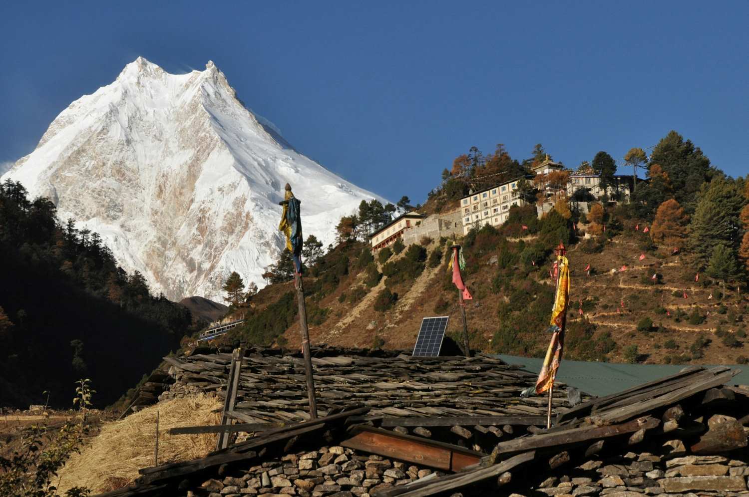
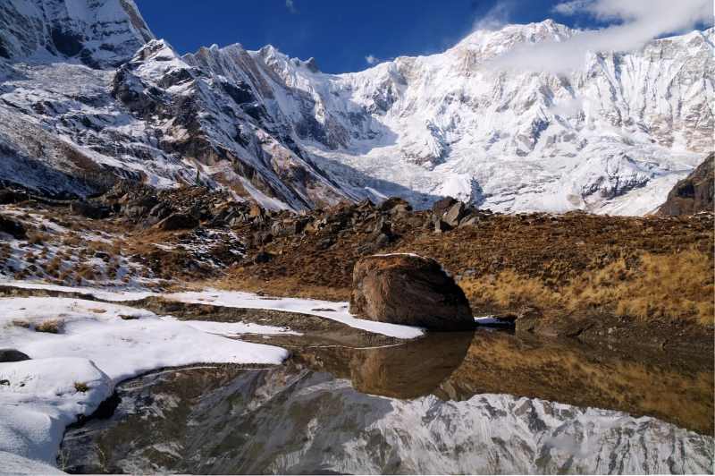
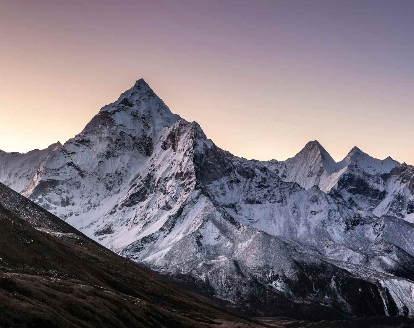
The Everest Three Passes route is one of Nepal’s most challenging and rewarding trekking journeys, crossing high mountain passes like Kongma La, Cho La, and Renjo La while offering breathtaking panoramas of the Everest region. But the Himalayas are known for their unpredictable weather, and trekking at the wrong time of year can mean harsh conditions, limited visibility, or difficult trails. So how do you decide when to go?
Should you trek during Pre-monsoon Spring (March to May) when the trails come alive with blooming rhododendrons and moderate temperatures? Or would Post-monsoon Autumn (September to November) be better, when stable weather, clear skies, and spectacular mountain views make the Himalayas look their absolute best? Some adventurers even consider winter or summer, each bringing its own challenges and unique experiences.
In this guide, we’ll explore the best time for the Everest Three High Pass Trek, breaking down each trekking season in detail. You’ll learn what to expect from spring, autumn, winter, and monsoon conditions, along with insights that will help you plan the most rewarding and memorable Himalayan adventure possible.
Understanding the Climate of the Everest Three High Pass Trek
Before deciding the best time to attempt the Everest Three High Pass Trek, it’s important to understand one key factor that shapes the entire journey—the Himalayan climate. Weather in the Everest region isn’t just about sunshine or rain; it directly affects trail conditions, visibility, safety, and even your overall trekking experience.
So, what makes timing so critical for this trek?
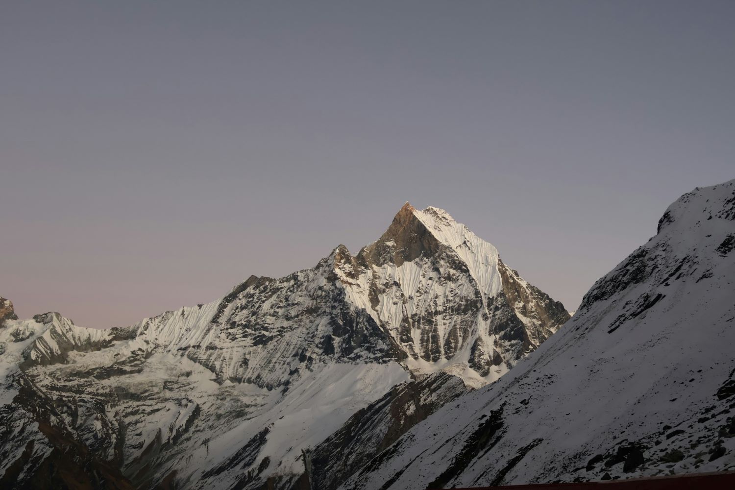
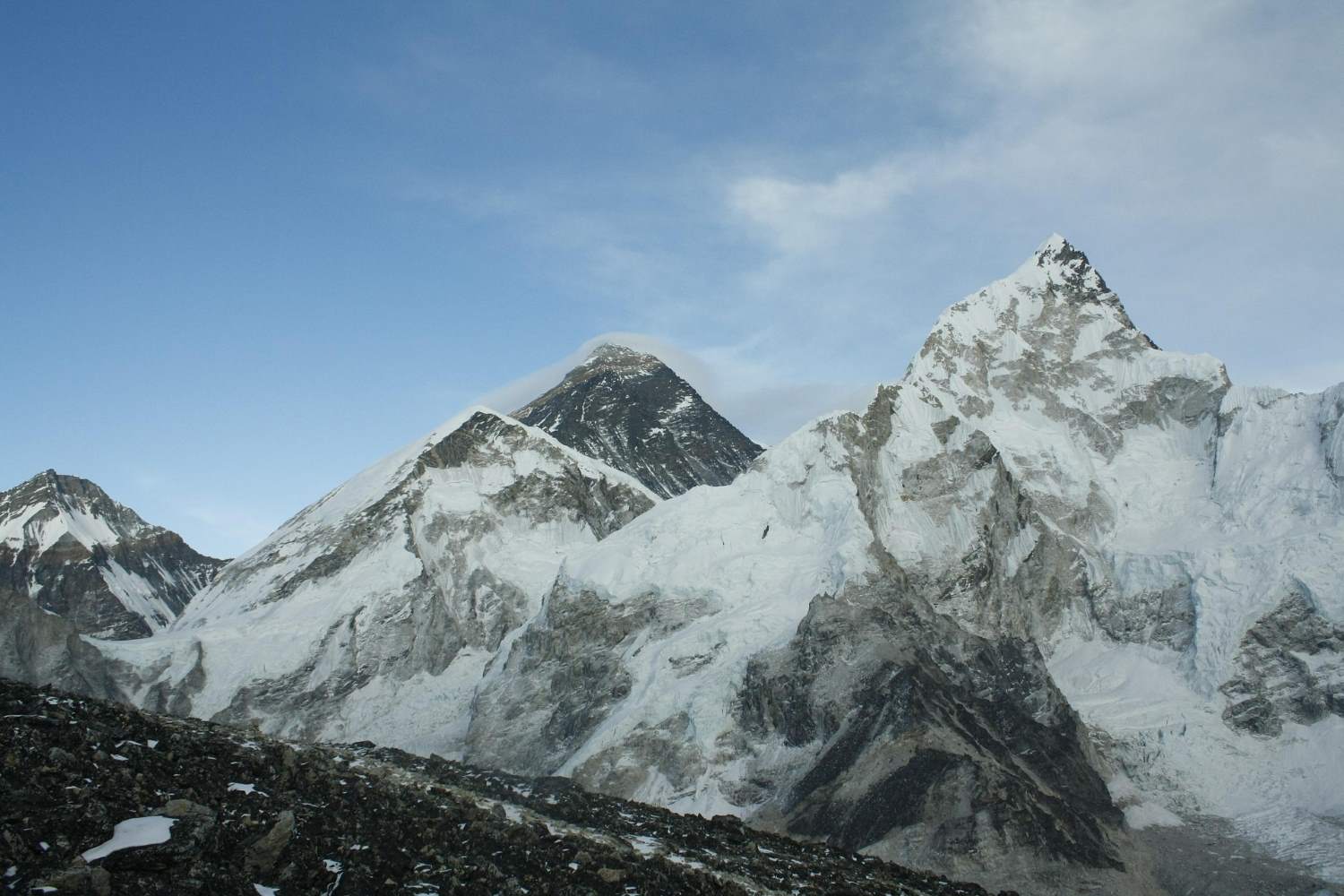
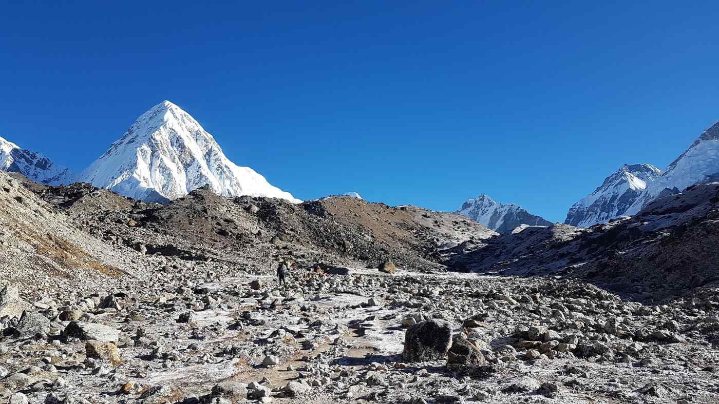
Unlike many popular routes in Nepal, the Everest Three Passes trek crosses three high-altitude passes above 5,000 meters. At these elevations, the weather can shift quickly. A sunny morning can turn into snowfall by afternoon, and a clear trail can suddenly become icy or difficult to navigate.
That’s why experienced trekkers always ask one question first: When is the best time to go?
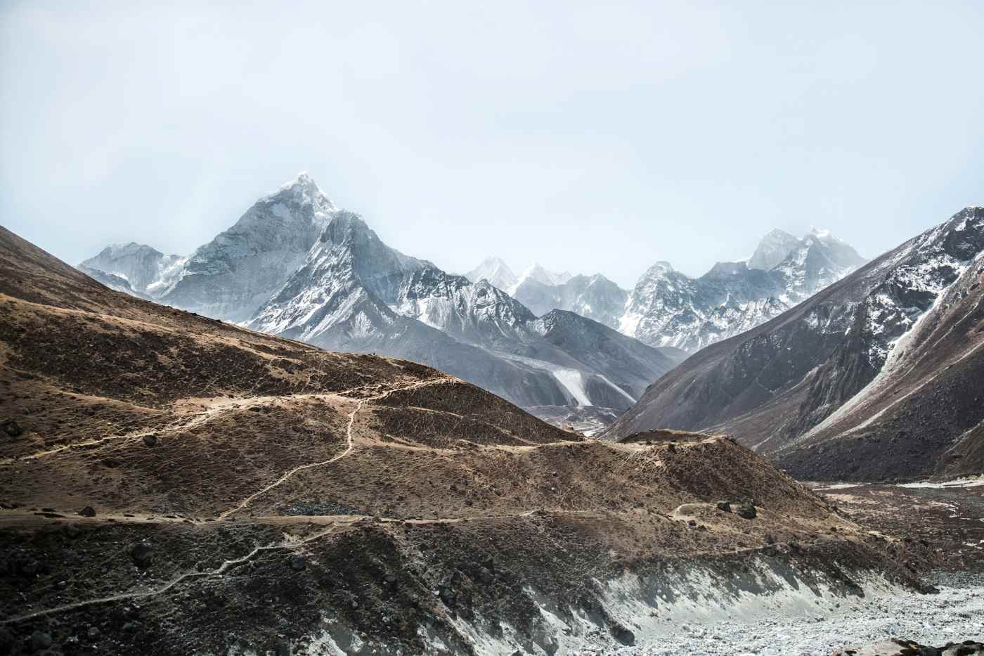
How Altitude Shapes the Weather
As you ascend higher into the Khumbu region, the environment becomes dramatically different from the lower valleys. Higher altitude means:
-
Lower temperatures, especially at night
-
Stronger winds on exposed ridges and passes
-
Rapid weather changes throughout the day
-
Increased chances of snow-covered trails at higher elevations
Even during popular trekking seasons, temperatures can drop below freezing once you cross 4,500 meters.
Seasonal Weather Patterns in the Everest Region
The climate around the Everest region generally follows four main trekking seasons. Each one offers a very different experience for the Everest Three High Pass Trek.
-
Pre-monsoon Spring (March to May)
Known for moderate temperatures, colorful landscapes, and lively trekking trails.
-
Post-monsoon Autumn (September to November)
Famous for stable weather, clear skies, and some of the most spectacular mountain views in the Himalayas.
-
Winter (December to February)
Marked by extreme cold and snow-covered trails, making high passes much more challenging.
-
Monsoon Season (June to August)
Characterized by heavy rainfall, muddy trails, and high humidity, especially at lower elevations.
Why Weather Matters on This Trek
When you’re crossing passes like Kongma La, Cho La, and Renjo La, weather conditions can make the difference between an unforgettable adventure and a difficult struggle.
The right season offers:
-
Clear trails and safer crossings
-
Better visibility of Everest and surrounding peaks
-
Comfortable trekking temperatures
-
More predictable trail conditions
On the other hand, trekking during the wrong time can mean slippery paths, poor visibility, or even delayed itineraries.
Understanding these climate patterns will help you plan smarter and choose the best time for the Everest Three High Pass Trek—something we’ll explore in detail as we break down each trekking season in the sections ahead.
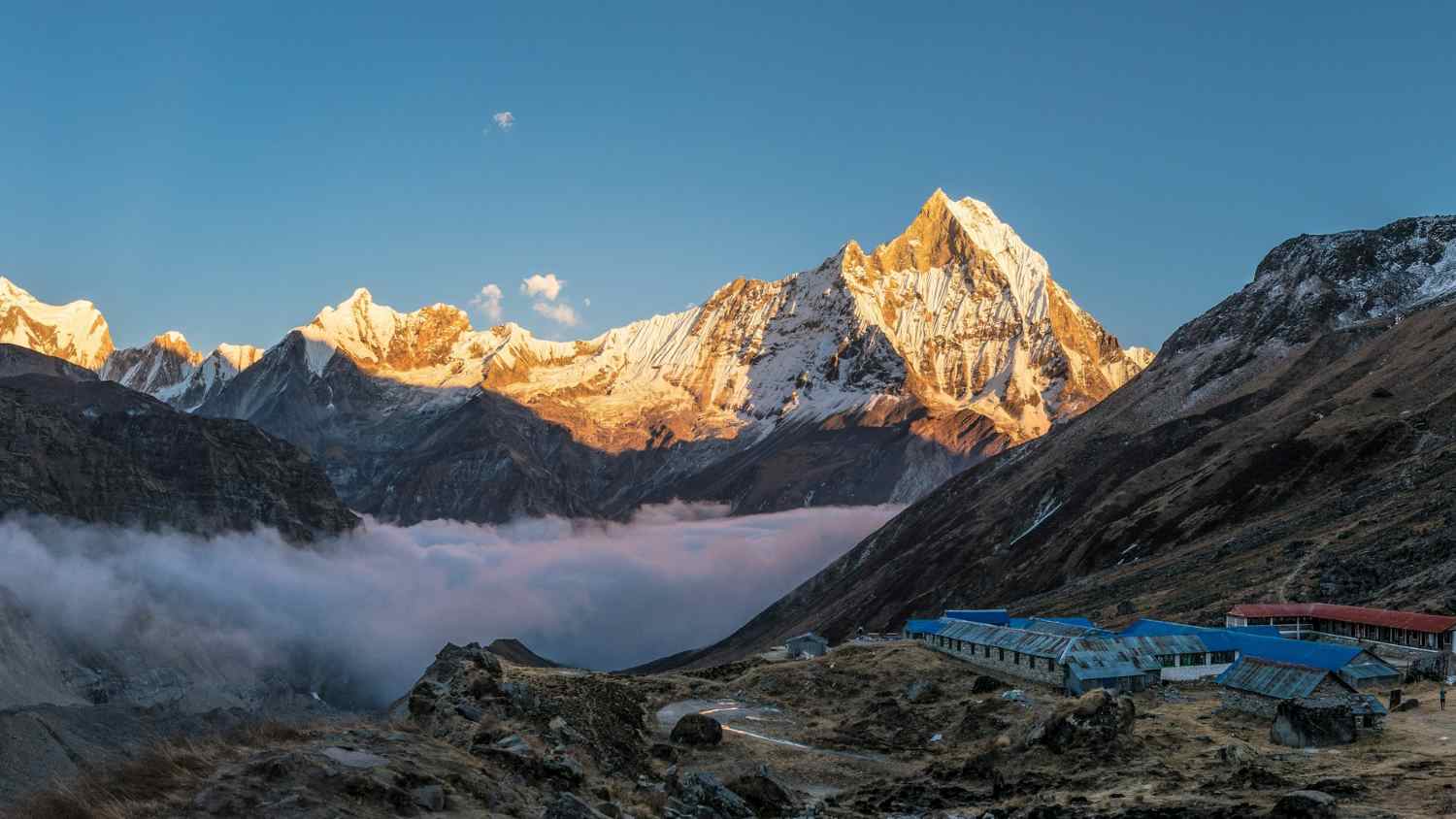
Pre-monsoon Spring (March to May): A Vibrant Season for the Everest Three High Pass Trek
If you ask experienced trekkers about the best time for the Everest Three High Pass Trek, many will immediately point to Pre-monsoon Spring (March to May). And it’s easy to see why. As winter fades, the Everest region slowly awakens with warmer weather, colorful landscapes, and lively trekking trails.
But what exactly makes spring so special for this challenging Himalayan adventure?
Let’s explore why thousands of trekkers choose this season to cross the legendary high passes of the Everest region.
Why Spring Is a Favorite Among Trekkers
Spring offers a perfect balance of comfortable temperatures and beautiful scenery. As the snow from winter begins to melt, trails gradually open up, making it easier to navigate high-altitude passes like Kongma La, Cho La, and Renjo La.
During this time, trekkers can expect:
-
Moderate temperatures compared to the harsh winter months
-
Vibrant landscapes filled with blooming rhododendrons
-
Clear trails in most sections of the route
-
Longer daylight hours for safer trekking days
These conditions make spring particularly appealing if you want both scenic beauty and relatively stable trekking weather.
Spring Highlights in the Everest Region
One of the most rewarding aspects of trekking in spring is how alive the Himalayas feel. The forests below Namche Bazaar transform into colorful corridors of red, pink, and white rhododendron blooms.
Some memorable spring highlights include:
-
Colorful rhododendron forests between Phakding, Namche, and Tengboche
-
Crisp morning views of Everest, Lhotse, Ama Dablam, and surrounding peaks
-
Comfortable trekking temperatures during the day
-
Bustling teahouses filled with trekkers from around the world
You’ll likely notice a vibrant trekking atmosphere as adventurers gather to attempt the Everest Three High Pass Trek during this popular season.
What Temperatures Are Like in Spring
Although spring offers moderate temperatures, remember that this is still a high-altitude expedition.
Typical conditions include:
-
Lower elevations (2,800–3,500 m): 10°C to 18°C during the day
-
Higher elevations (4,500 m and above): -5°C to 5°C
-
Cold nights, especially near high passes
Layered clothing remains essential, especially when crossing the passes early in the morning.
The Trade-Off: Crowded Trails and Lodges
Because spring is considered a peak trekking season, the Everest region becomes noticeably busier.
You may encounter:
-
Crowded trails and lodges, particularly near Everest Base Camp routes
-
Limited room availability if accommodations aren’t booked early
-
A lively but sometimes bustling trekking environment
However, many trekkers actually enjoy this energy. Meeting fellow adventurers from around the world often becomes part of the experience.
Is Spring Right for Your Trek?
If you’re looking for a season that combines great weather, colorful landscapes, and reliable trail conditions, spring is an excellent choice for the Everest Three High Pass Trek.
It offers a mix of natural beauty, comfortable temperatures, and well-established trekking infrastructure—an ideal combination for both first-time Himalayan trekkers and experienced adventurers aiming to conquer the legendary three passes.
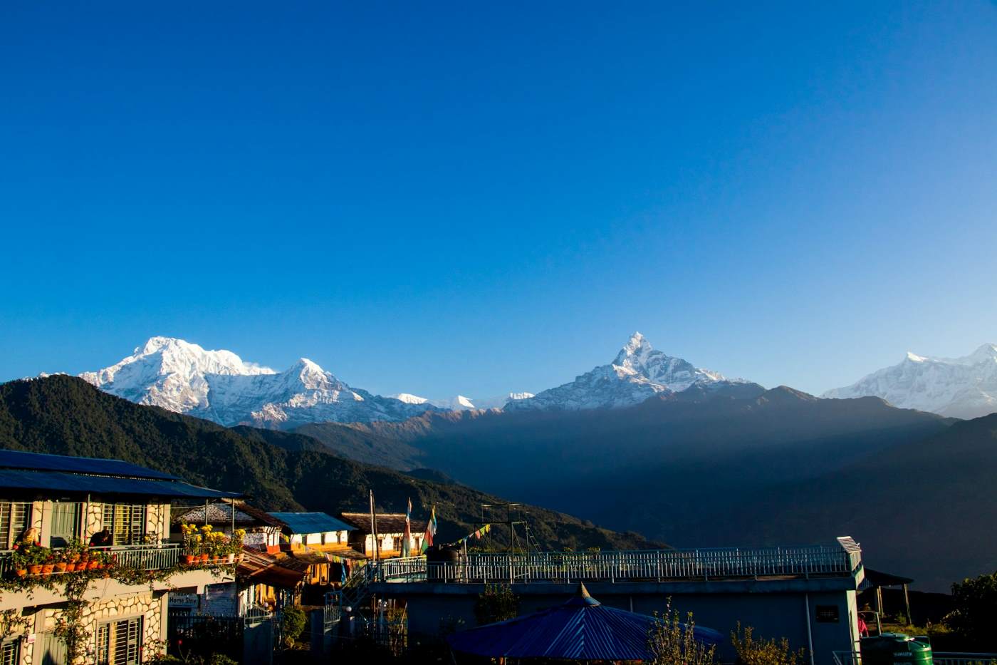
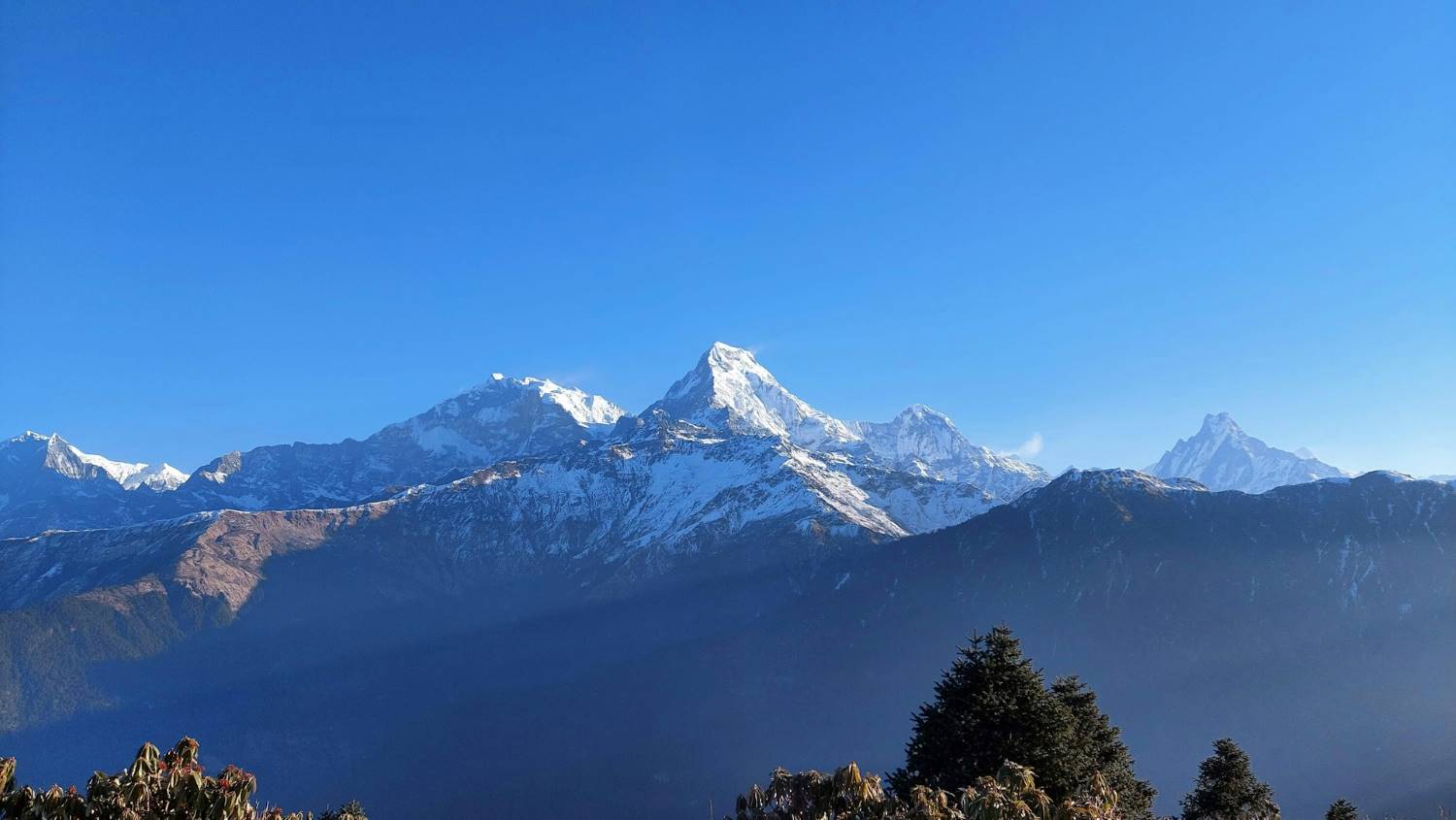
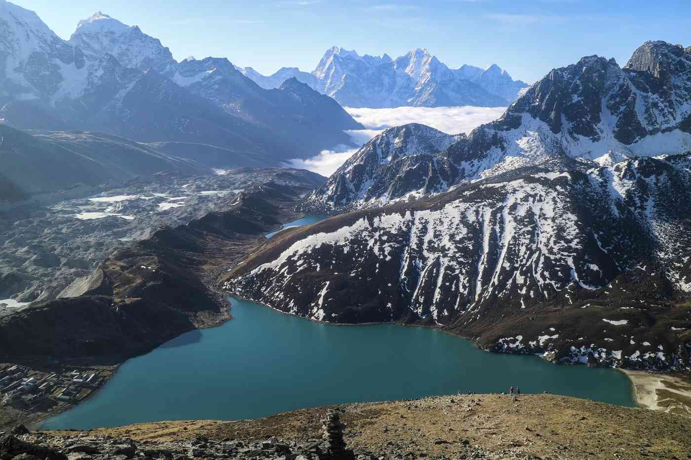
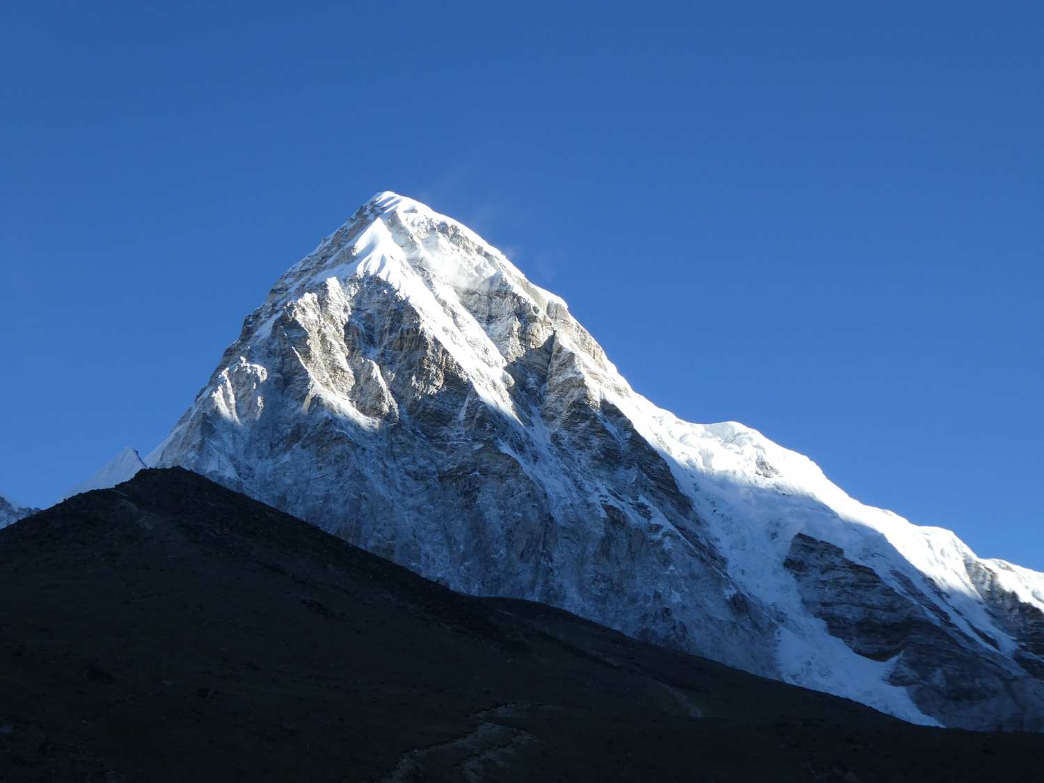
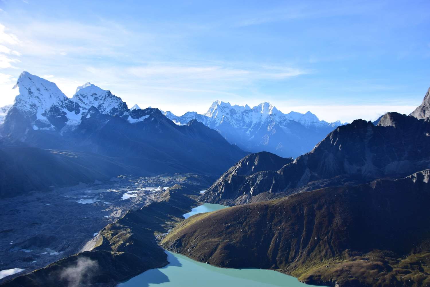
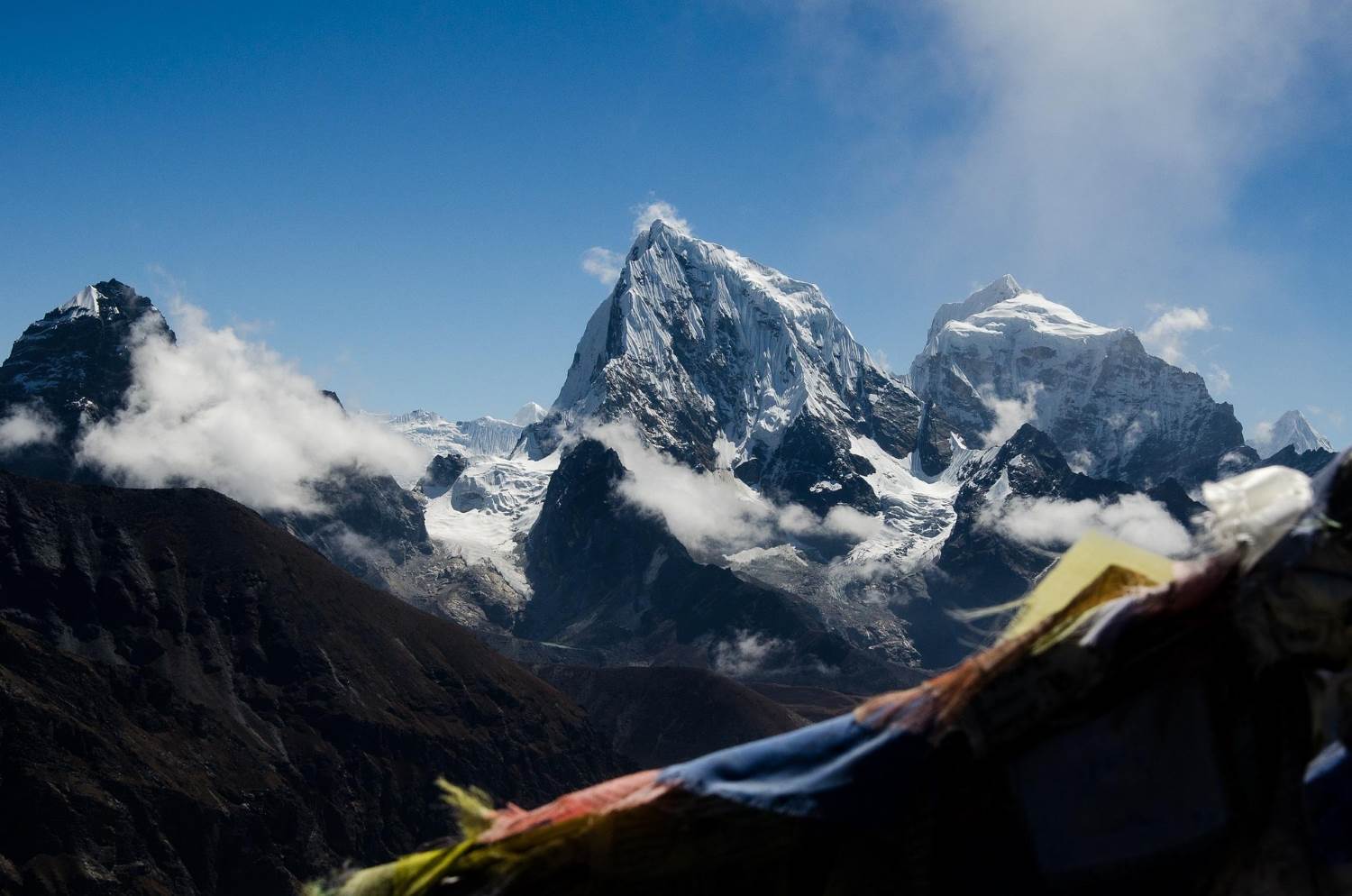
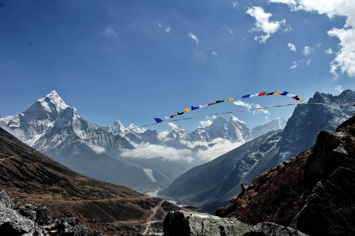
Post-monsoon Autumn (September to November): The Most Reliable Season for the Trek
If you’re searching for the best time to attempt the Everest Three High Pass Trek, many seasoned trekkers and guides will recommend Post-monsoon Autumn (September to November). Why? Because this season offers some of the most reliable trekking conditions in the entire Himalayan calendar.
After months of monsoon rain, the atmosphere clears, the dust settles, and the mountains reveal themselves in stunning clarity. Imagine waking up to crisp mornings, deep blue skies, and uninterrupted views of the world’s highest peaks. Sounds tempting, right?
Let’s look at what makes autumn such an exceptional season for this demanding high-altitude adventure.
Why Autumn Offers Ideal Trekking Conditions
The biggest advantage of trekking during autumn is the stable weather. The monsoon clouds disappear, leaving behind a dry and predictable environment that is perfect for crossing high mountain passes.
During autumn, trekkers typically experience:
-
Consistently clear skies with excellent visibility
-
Dry and good trail conditions after the monsoon season
-
Comfortable daytime trekking temperatures
-
Minimal chances of heavy snowfall or rain
These factors make navigating the challenging passes of the Everest Three High Pass Trek significantly safer and more enjoyable.
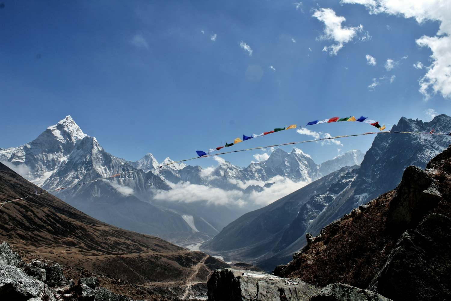
Spectacular Mountain Views at Their Best
One of the main reasons trekkers love autumn is the extraordinary visibility. The air becomes cleaner after the monsoon rains wash away dust and haze, creating perfect conditions for photography and mountain views.
Trekkers are rewarded with spectacular mountain views of iconic Himalayan peaks such as:
-
Mount Everest
-
Lhotse
-
Ama Dablam
-
Cho Oyu
-
Thamserku
On clear mornings, the mountains appear almost impossibly sharp against the sky—a dream scenario for photographers and nature lovers alike.
Autumn Highlights Along the Trail
Autumn brings its own unique charm to the Everest region. The landscapes transition into golden alpine scenery while local villages prepare for seasonal celebrations.
Some memorable Autumn Highlights include:
-
Crystal-clear mountain panoramas
-
Dry and stable trekking trails
-
Pleasant daytime temperatures for long hiking days
-
A vibrant trekking atmosphere with international adventurers
Even though autumn is a busy trekking season, many sections of the Three Passes route feel less crowded than spring, especially in the remote valleys beyond the Everest Base Camp trail.
Typical Temperatures in Autumn
Weather during autumn is generally predictable, but temperatures still drop significantly at higher elevations.
Expect conditions such as:
-
Lower elevations (2,800–3,500 m): 12°C to 20°C during the day
-
Mid elevations (3,500–4,500 m): 5°C to 12°C
-
High passes (above 5,000 m): -10°C to -5°C, especially early morning
This means you’ll still need warm layers, but daytime trekking conditions are usually comfortable.
Why Many Trekkers Prefer Autumn
Autumn often strikes the perfect balance between weather, scenery, and trekking comfort. For many adventurers, it simply provides the most dependable conditions for tackling the demanding passes of the Everest Three High Pass Trek.
Here’s why trekkers consistently choose this season:
-
Stable weather allows for safer high-pass crossings.
-
Clear skies reveal the Himalayas in their full glory.
-
Trails remain dry with good trail conditions.
-
Remote sections of the route feel quieter and more immersive.
For those hoping to experience the Everest region at its absolute best, Post-monsoon Autumn (September to November) is often considered the ultimate trekking window.
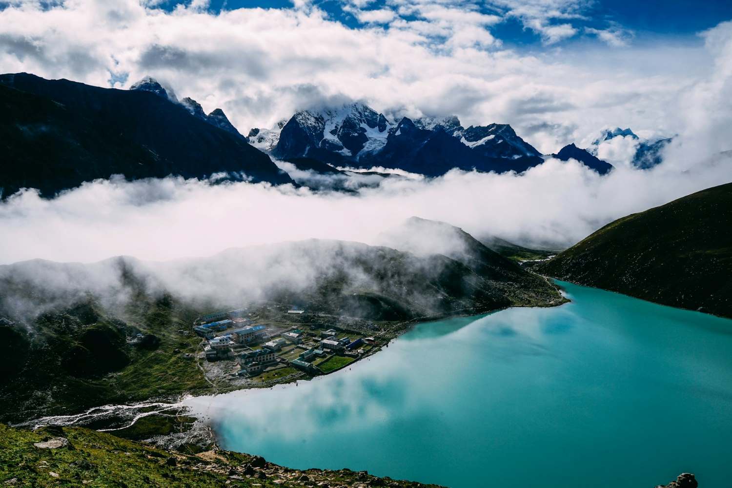
Winter Season: Challenges and Rewards of Trekking the Three Passes
What happens if you attempt the Everest Three High Pass Trek during winter? While most trekkers choose spring or autumn, a few adventurous souls are drawn to the Himalayas between December and February. Winter transforms the Everest region into a quiet, snow-covered wilderness—but it also introduces serious challenges.
So the real question is: Is winter trekking worth it?
For the right person, it can be an unforgettable experience. However, understanding the winter challenges is essential before planning your journey.
Extreme Cold at High Altitude
The most obvious challenge of winter trekking is the extreme cold. As temperatures drop across the Everest region, conditions become much harsher—especially at elevations above 4,500 meters.
Typical winter temperatures may include:
-
Namche Bazaar (3,440 m): around -5°C to 5°C during the day
-
Lobuche or Gokyo (4,900 m): -10°C to -15°C
-
High passes above 5,000 m: temperatures can fall below -20°C
Cold winds can make these temperatures feel even lower. Proper winter gear becomes absolutely essential.
Snow-Covered Trails and Passes
Another major challenge during winter is navigating snow-covered trails. The three passes—Kongma La, Cho La, and Renjo La—are already demanding in good weather. When snow accumulates, they become even more difficult.
Trekkers may encounter:
Because of these conditions, the trek may require additional equipment such as microspikes or crampons.
Navigation Difficulties in Remote Areas
With fewer trekkers on the trail during winter, navigation can also become more complicated. Fresh snowfall can cover footprints and trail markers, creating navigation difficulties in remote sections of the route.
This is especially true in areas like:
-
The Cho La Pass glacier section
-
Remote valleys near Renjo La
-
High alpine areas above Lobuche and Gokyo
For this reason, many winter trekkers prefer to travel with experienced guides who know the terrain well.
Health Risks in Cold Conditions
Winter trekking at high altitude also increases certain health risks. Combined exposure to cold temperatures and thin air can make your body work harder than usual.
Trekkers should remain aware of:
-
Higher risk of frostbite on fingers, toes, and exposed skin
-
Increased fatigue due to freezing temperatures
-
Potential for altitude sickness, especially if acclimatization is rushed
Proper acclimatization, warm clothing, and careful pacing are crucial to staying safe.
The Hidden Rewards of Winter Trekking
Despite the challenges, winter offers something truly special: solitude. The trails become incredibly peaceful, allowing you to experience the Everest region without the crowds of peak trekking seasons.
Some of the unique benefits include:
-
Quiet trails with very few trekkers
-
Crystal-clear mountain views after snowfall
-
A magical winter landscape across the Khumbu region
-
More personal interaction with local communities
For experienced trekkers seeking a raw Himalayan adventure, winter can provide an incredibly rewarding journey.
Is Winter the Right Choice for You?
Winter is not typically considered the best time for the Everest Three High Pass Trek, but it can still be done with proper preparation and experience.
It may be suitable if you:
-
Have strong high-altitude trekking experience
-
Are comfortable in extreme cold conditions
-
Travel with proper winter gear and a knowledgeable guide
-
Allow extra time for weather delays and safety
For many adventurers, winter trekking becomes less about comfort and more about embracing the wild, untouched side of the Himalayas.
Monsoon Season (June to August): A Challenging Yet Unique Trekking Window
What about trekking during the Monsoon Season (June to August)? For most adventurers planning the Everest Three High Pass Trek, this period is usually the least recommended. Heavy rains, slippery trails, and limited mountain views can make trekking more difficult than during other seasons.
But does that mean it’s impossible? Not necessarily.
While monsoon trekking presents clear challenges, it also reveals a different side of the Himalayas—one that few trekkers ever experience.
What the Monsoon Weather Is Really Like
During the monsoon months, warm moisture from the Indian Ocean moves north toward the Himalayas. This results in frequent rainfall across much of Nepal, including the lower regions of the Everest trekking routes.
Trekkers should expect conditions such as:
-
Heavy rainfall, especially in the afternoons and evenings
-
High humidity in lower valleys and forests
-
Cloud-covered skies limiting mountain visibility
-
Wet and slippery trekking paths
Although rainfall gradually decreases as you climb higher, the lower portions of the trek can feel damp and misty for much of the journey.
Trail Conditions During the Rainy Season
One of the biggest difficulties of trekking during the monsoon is dealing with muddy trails. Rain-soaked paths can slow your progress and require extra caution.
You may encounter:
-
Slippery stone staircases
-
Waterlogged sections of the trail
-
Streams that become stronger after heavy rain
-
Occasional delays due to poor weather
Additionally, trekkers should remain aware of the increased risk of landslides, particularly on steep hillsides or narrow mountain paths.
Because of these factors, careful route planning and flexible travel days become extremely important.
The Hidden Beauty of the Summer Season
Despite the challenges, the Summer Season (June to Mid-September) offers some unexpected rewards. If you’re someone who enjoys nature in its most vibrant state, this time of year can feel incredibly alive.
During the monsoon months, the Everest region becomes greener than ever.
You might notice:
-
Lush landscapes covering the hills and valleys
-
Rich alpine vegetation and vibrant flora along the trails
-
Fresh mountain air after rainfall
-
Streams and waterfalls flowing at full strength
Wildlife activity also increases during this period, giving trekkers a chance to see animals and birds that are less visible in the dry seasons.
Small Challenges Trekkers Should Expect
Of course, monsoon trekking still comes with some inconveniences. In the lower forested areas of the trail, trekkers may encounter:
-
Leeches and insects in damp environments
-
Wet gear if proper rain protection isn’t used
-
Occasional flight delays to Lukla due to weather conditions
However, with the right preparation—waterproof gear, proper trekking boots, and flexible travel plans—many of these challenges can be managed.
Who Might Enjoy Trekking During Monsoon?
While it may not be the best time for most trekkers attempting the Everest Three High Pass Trek, the monsoon season can still appeal to a certain type of adventurer.
You might consider trekking during this time if you:
-
Prefer quiet trails with very few trekkers.
-
Enjoy lush natural scenery and green landscapes.
-
Have a flexible itinerary that can adapt to weather changes.
-
Want to experience the Himalayas from a different perspective.
For those willing to embrace the rain and unpredictable weather, the monsoon season offers a rare opportunity to see the Everest region in its most vibrant and untouched form.